We’re undertaking crucial repairs on the Manly Scenic Walkway from April to August 2025. Plan ahead by checking the bottom of this page for updates and follow trail signs for detours.
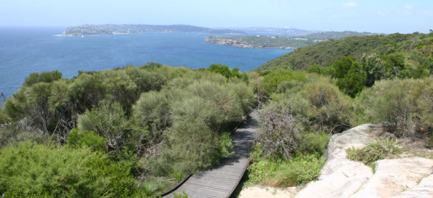
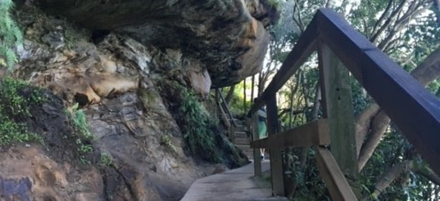
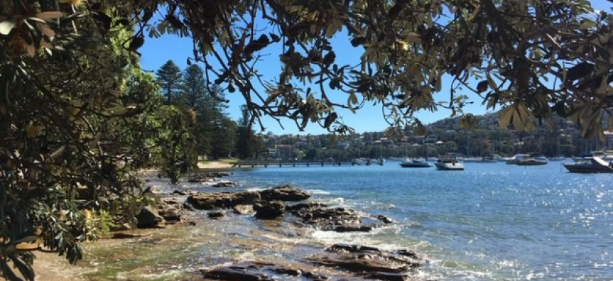
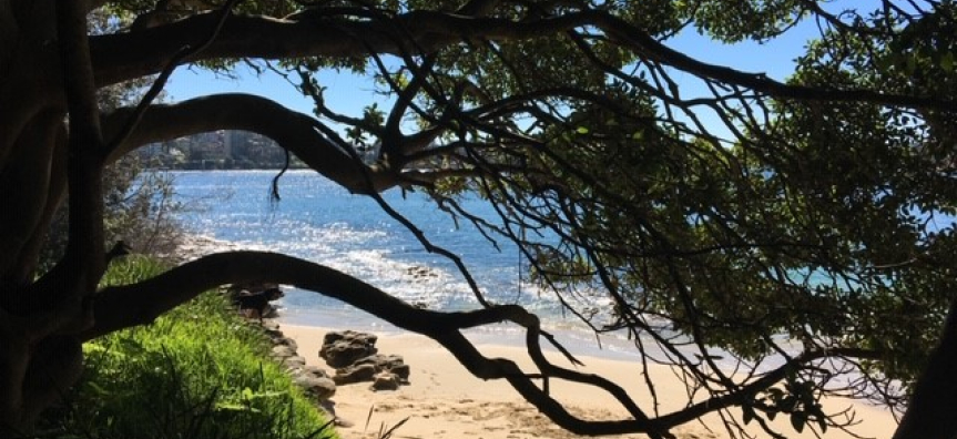
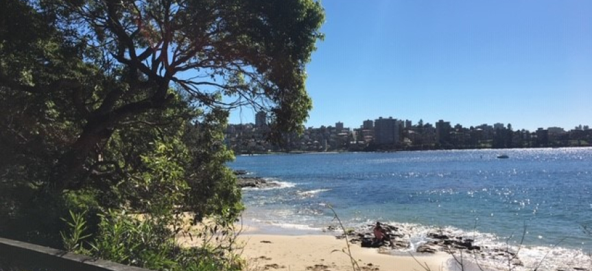
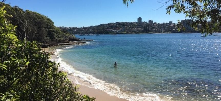
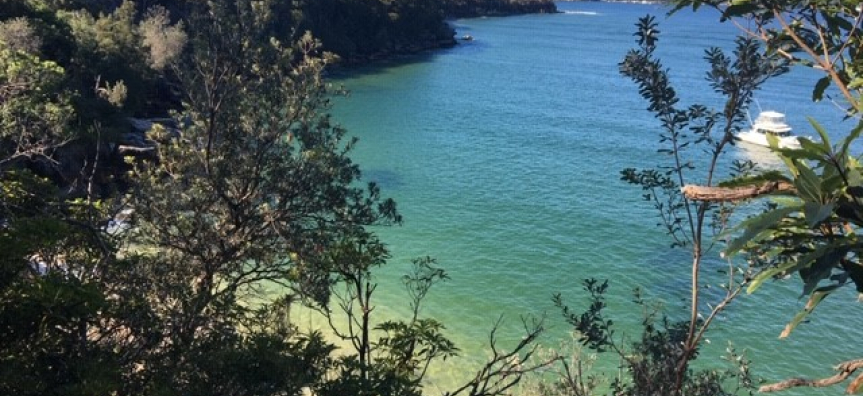
The Manly to Spit Bridge walk was a joint project between former Manly Council and the National Parks and Wildlife Service and was opened in 1988. Walkers pass by modern harbourside suburbs juxtaposed with Aboriginal sites, native coastal heath and pockets of sub-tropical rainforest.
It is almost 10km long and takes 3 to 4 hours to walk at a steady pace in each direction. The numerous entrance points allow you to choose any of the seven shorter section walks.
Access points, parking and public transport are marked on the maps below.
- All flora, fauna, Aboriginal sites, rock formations and historic structures are protected on the Walk.
- No domestic pets/dogs are allowed in the National Park. However an alternative dog route is provided.
Routes
Manly to Spit Bridge - 10km - 4.5hrs - gentle to medium
Manly to North Harbour Reserve - 1.6km - 30mins - gentle to medium
Manly to Clontarf Reserve - 7.2km - 3.5hrs - gentle to medium
Manly to North Head - 9.5km - 4 hrs - gentle to medium
Sydney Harbour National Park - 1.5km - 40mins - medium
Alternative Dog Route - 2km - 2hrs - medium
Manly to Spit walkway works update
The works at Castle Rock are now complete and the walkway will be open, with no detours, for the June long weekend.
Fisher Bay works will start on Tuesday 10 June and are expected to be complete by August. During construction, walkers will need to follow the 1200m signposted path between Ellery’s Punt Reserve at the Spit Bridge and Sandy Bay near Clontarf. If you’re starting your walk at the Spit Bridge and arriving by bus travelling south, we suggest you get off at Heaton Avenue and walk down Peronne Avenue to join the walkway. If you’re arriving by bus travelling north, we suggest you get off at the Spit Bridge and follow the signs. See map for details.