Brookvale heat trackers
The most detailed microclimate and urban heat mapping of Brookvale ever highlights stark temperature differences of nearly 5°C across the suburb due to the varying levels of tree canopies.
The highest temperature recorded was 43.7°C at Mitchell Road on 28 January 2025 while Dale Street was identified as one of the hottest streets overall with a mean air temperature of 23.9°C - almost 1.5°C warmer than the coolest spot on Clearview Place.
Cooler locations were found in the very north-western part of the precinct, just to the east of the extensive vegetation within Allenby Park, where tree canopy cover was higher even within the built environment.
As expected, the study revealed that Brookvale’s industrial areas with their minimal greenery tend to experience more intense and prolonged heat, underscoring the urban heat island effect. However, where areas with higher tree canopy cover and vegetation benefit from cooler daytime temperatures, the study also revealed that dense canopies can trap heat at night, acting like a thermal blanket.
This evidence-based data supports the Brookvale Structure Plan - Greening Strategy by reinforcing the need for more shade, vegetation, and water elements in public spaces to create more comfortable and inviting environments for everyone in Brookvale and beyond.
This joint initiative is part of Council’s ongoing efforts to combat the urban heat island effect in Brookvale and more broadly. Subject to further grant funding opportunities, ongoing temperature monitoring to track the effectiveness of these heat mitigation strategies can occur over time.
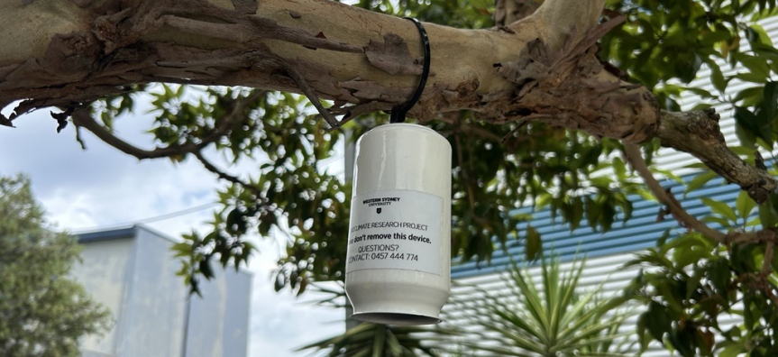
This project is a collaboration between Northern Beaches Council and Western Sydney University and is funded by the Australian Government’s Housing Support Scheme Grant.